Map Projections
Originally posted on Geokult:
Representing the three dimensional world onto a two dimensional piece of paper is achieved through the use of map projections. Projecting the curved surface of the earth onto a…

Originally posted on Geokult:
Representing the three dimensional world onto a two dimensional piece of paper is achieved through the use of map projections. Projecting the curved surface of the earth onto a…
Originally posted on Geokult:
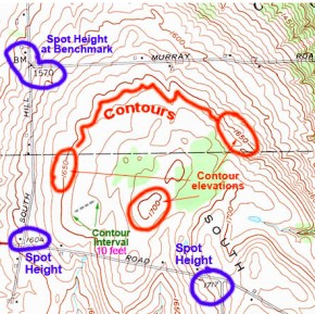
Contours can be thought of as like a stack of irregular pancakes, with each contour line representing the edge of the pancake. If the contour interval is 1 metre,…
Originally posted on Geokult:
As a cartographer with an extensive background in topographic mapping I have been trained to produce maps as accurately as I possibly can, but of course a map is…
Originally posted on Geokult:
When depicting information on a map the cartographer has to make choices on how to display the sometimes complex and very dense information without losing the flavour and meaning…
Originally posted on Geokult:
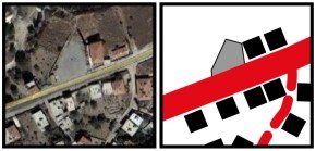
When producing a map it is important to choose mapping symbols that can be easily understood by the map reader. When using colour there are some fairly obvious conventions,…
Originally posted on Martin Drury:
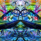
Recently I have turned my attention to producing abstract photographs out of my images to add an extra dimension to my photographic work. Here are some recent examples:…
Originally posted on TRACEY M BENSON | aka bytetime:
Earlier this year I made an ambitious claim about walking for at least 30 minutes a day and recording images from my walks. The project…
Originally posted on TRACEY M BENSON | aka bytetime:
Last night Simona Vermiere gave a talk about her research focused walking and plants, exploring some of her PhD work and talking about how she…
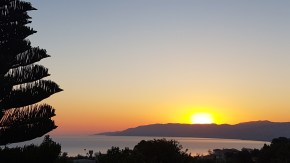
Originally posted on TRACEY M BENSON | aka bytetime:
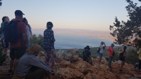
After waking up to an amazing sunrise, I set off early for the first of the Made of Walking workshops. This morning Stefan van Biesen and Annemie…